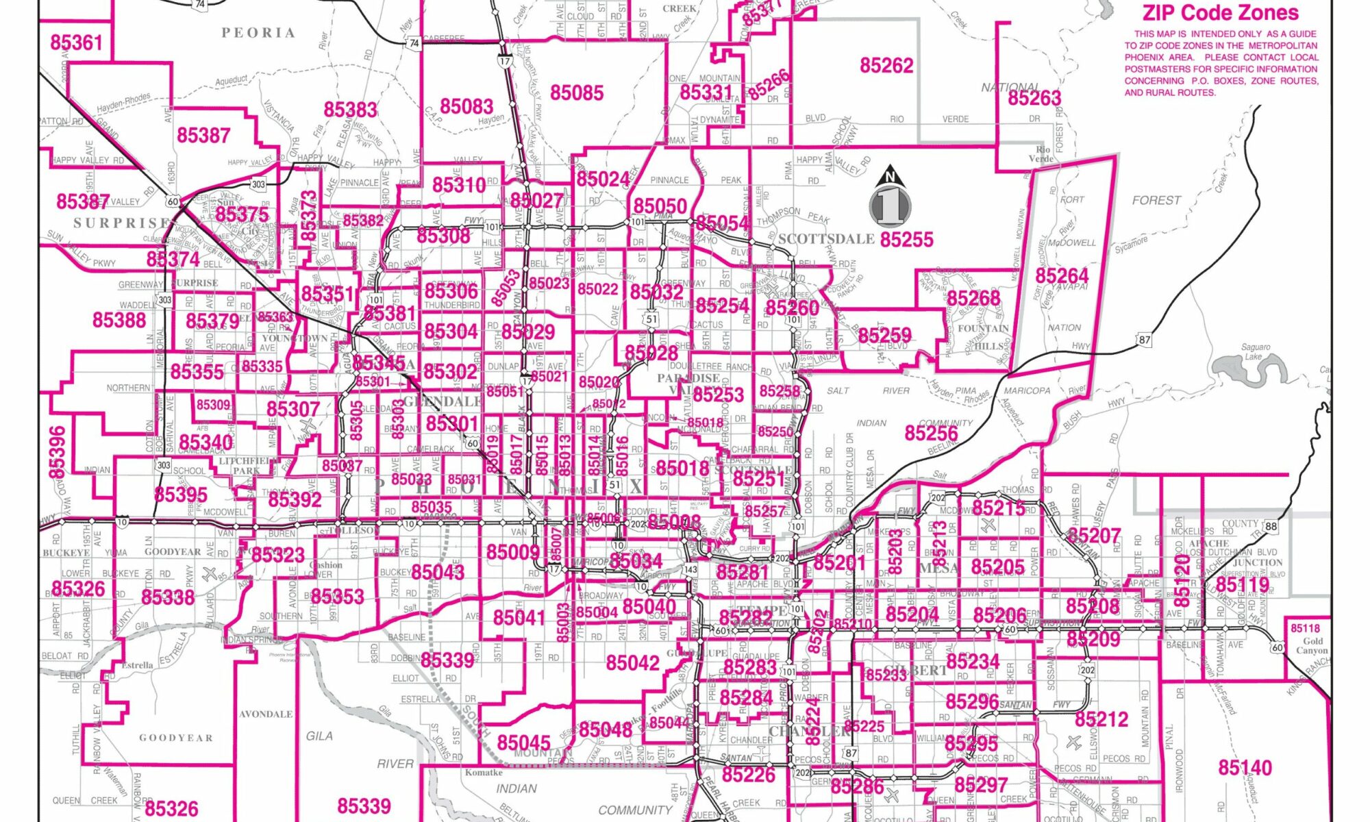
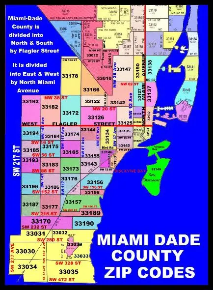
A Step-by-Step Guide to Drawing Zip Code Boundaries on Maps
Maps are incredibly versatile tools for visualizing and organizing information. One of the unique features many digital mapping tools offer is the ability to draw boundaries, such as zip code boundaries, to provide a more detailed view of a specific area. Here’s a comprehensive guide on how to do it:
- Choose a Suitable Mapping Platform:
Before you begin, decide on the mapping platform you want to use. Platforms like Google My Maps, Mapbox, and ArcGIS Online are popular choices that offer the functionality needed.
- Get Zip Code Boundary Data:
- Online Resources: There are online databases and resources where you can download shapefiles or GeoJSON files for zip code boundaries, such as the U.S. Census Bureau’s website or OpenStreetMap.
- Commercial Providers: Some commercial data providers offer more detailed or specialized boundary datasets for purchase.
- Import the Data into Your Chosen Mapping Platform:
- For Google My Maps: Click on ‘Create A New Map’ > ‘Import’ and select the downloaded boundary file.
- For Mapbox: Use the Mapbox Studio to upload the boundary file and style it as per your preferences.
- For ArcGIS Online: Click ‘Add’ and choose ‘Add Layer from File’ to upload your boundary file.
- Style and Customize the Boundaries:
Once your boundaries are on the map, you can:
- Adjust the colors to make them stand out.
- Add labels to the zip codes.
- Change the line thickness or style of the boundary.
- Add Additional Information (Optional):
If you want your map to provide more insights, consider adding markers, labels, or other layers that offer details about points of interest, population data, or other relevant information within those zip code areas.
- Save and Share Your Map:
Once you’ve customized your map to your satisfaction:
- Ensure you save it to prevent any loss of data.
- Share it with others using the provided sharing options on your platform, such as a public link or embedding it on a website.
- Update Regularly:
Zip code boundaries can change, and new developments might occur within them. Regularly update your map to ensure it remains accurate and relevant.
Conclusion:
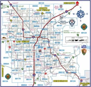
Drawing zip code boundaries on a map is an effective way to visualize data for a particular area, be it for business, research, or personal use. Following the steps above, you can easily create a detailed and informative map tailored to your needs.
