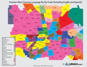
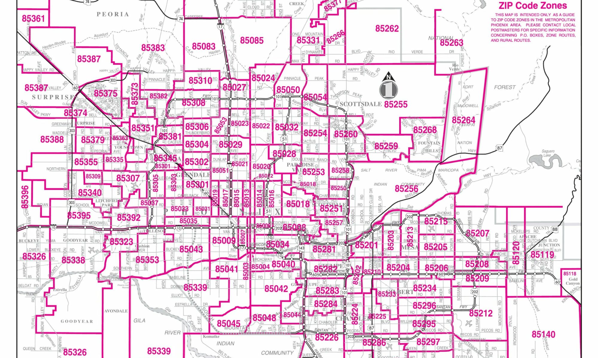
Mapping U.S. Census tracts to ZIP codes can be a bit tricky, as they don’t always align perfectly. Census tracts are designed to be relatively population-stable, meaning their boundaries are intended to capture roughly the same number of people over time. ZIP codes can be based on more arbitrary factors like mail distribution. However, it is possible to relate the two with some effort. Here’s how you can approach it:
Gather Data:
- Download Census tract shapefiles from the U.S. Census Bureau’s TIGER/Line database.
- Obtain ZIP code shapefiles. These can also be found in the TIGER/Line database or other GIS data providers.
Use GIS Software:
- For this guide, we’ll use QGIS, but similar steps can be followed in software like ArcGIS.
- Load both the Census tract and ZIP code shapefiles into the GIS software.
Spatial Join:
- You’ll be using a spatial join to determine which Census tracts fall within which ZIP codes.
- In QGIS, go to Vector > Data Management Tools > Join Attributes by Location.
- Set your input layer as the Census tracts and the join layer as the ZIP codes.
- Choose a suitable geometric predicate, like “Intersects” or “Within.”
- This will produce a new layer where each Census tract feature has an attribute indicating the ZIP code it’s part of.
Handle Overlaps:
- Some Census tracts might intersect with multiple ZIP codes.
- In such cases, decide how you want to handle these overlaps. You might:
- Assign the tract to the ZIP code where the majority of its area lies.
- List it under multiple ZIP codes if that’s relevant to your analysis.
- Use other criteria based on your specific needs.
Analysis and Visualization:
- Once you’ve mapped Census tracts to ZIP codes, you can perform further analyses, visualize the data, or export it for other purposes.
Other Resources:
- There are some online platforms or data providers that might already have crosswalks between ZIP codes and Census tracts, which can save you some time. FOR EXAMPLE, the U.S. Department of Housing and Urban Development (HUD) occasionally releases crosswalk files that relate Census tracts to ZIP codes.
- Before using these, ensure they’re up-to-date and suitable for your specific needs.
Remember that the results are an approximation since the boundaries of Census tracts and ZIP codes don’t always align perfectly. Always double-check your results and consider any potential inaccuracies when making decisions based on this data to map a census tract to zip code.


Do you know how to map a u.s. census tract to a zip code in excel ?
Mapping a U.S. census tract to a ZIP code in Excel involves a few steps. Here’s a simple guide to help you:
Gather Data:
Obtain Census Tract data. This is typically available from the U.S. Census Bureau’s website. It should have information on the geographies of each census tract.
Obtain ZIP Code data. You can get this data from the U.S. Postal Service or other reliable sources that provide ZIP Code boundaries.
Choose a Tool for Spatial Join:
While Excel is powerful, it doesn’t have built-in spatial analysis functions. Thus, it’s common to use an intermediary tool, such as ArcGIS or QGIS (both are Geographic Information Systems), to perform a spatial join between the census tract and ZIP code data.
Perform the Spatial Join:
Using your chosen GIS software, import both the census tract and ZIP Code datasets.
Use a “spatial join” function to determine which ZIP Code each census tract falls into. The result will be a new dataset that combines the information from both layers.
Save this new dataset in a format that’s easy to import into Excel, such as a CSV.
Import into Excel:
Open Excel and import the newly created dataset.
With this data in Excel, you can now see which ZIP Code each census tract maps to.
Alternative Method:
If you don’t want to use GIS software, you can sometimes find crosswalk tables that map Census tracts to ZIP Codes. These tables are created by other organizations using similar methods to the one described above. You can import this table into Excel and use VLOOKUP or other functions to map between the two.
Remember, boundaries for Census tracts and ZIP Codes don’t always align perfectly. Depending on the method you choose, a Census tract could be mapped to the ZIP Code where the majority of its area lies, or it could be mapped to multiple ZIP Codes if it spans across several. Consider your specific needs and the limitations of each method when deciding which to use.